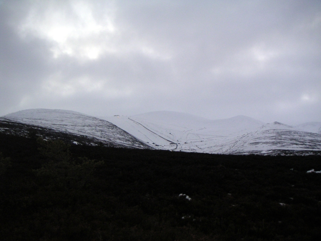
Parked below the ski slopes, and trekked across the path to the Chalamain Gap.
Clouds obscure Aviemore - what a pity!

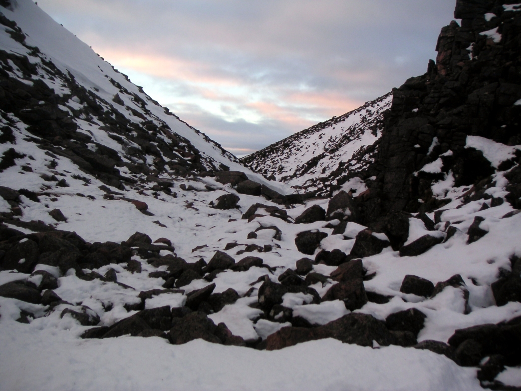
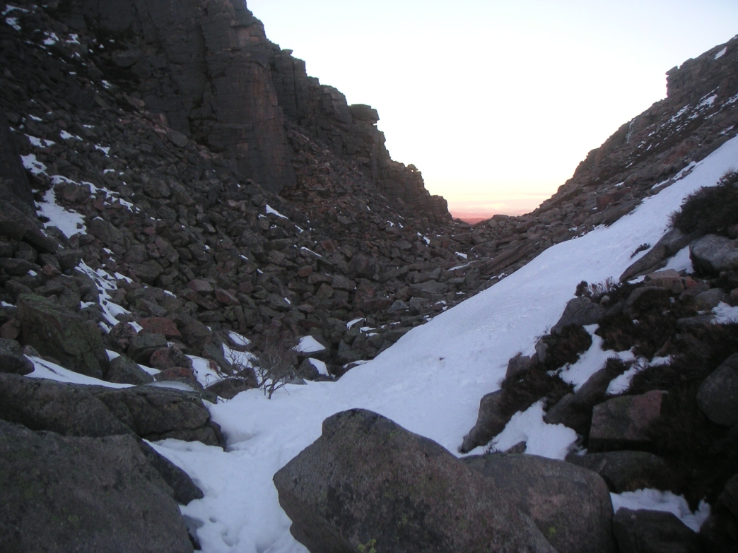
Chalamain Gap
getting closer
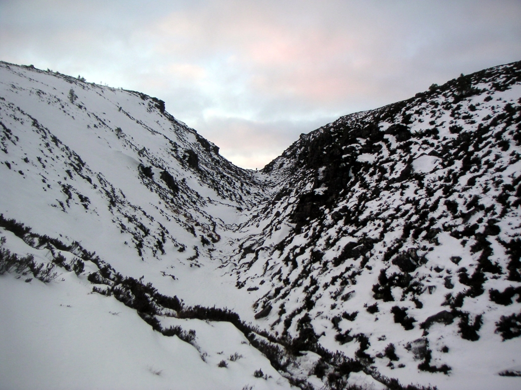
Looking up from the bottom, overall it's about a third of a mile of boulders, at this point covered in a layer of snow and ice just to make it more challenging!
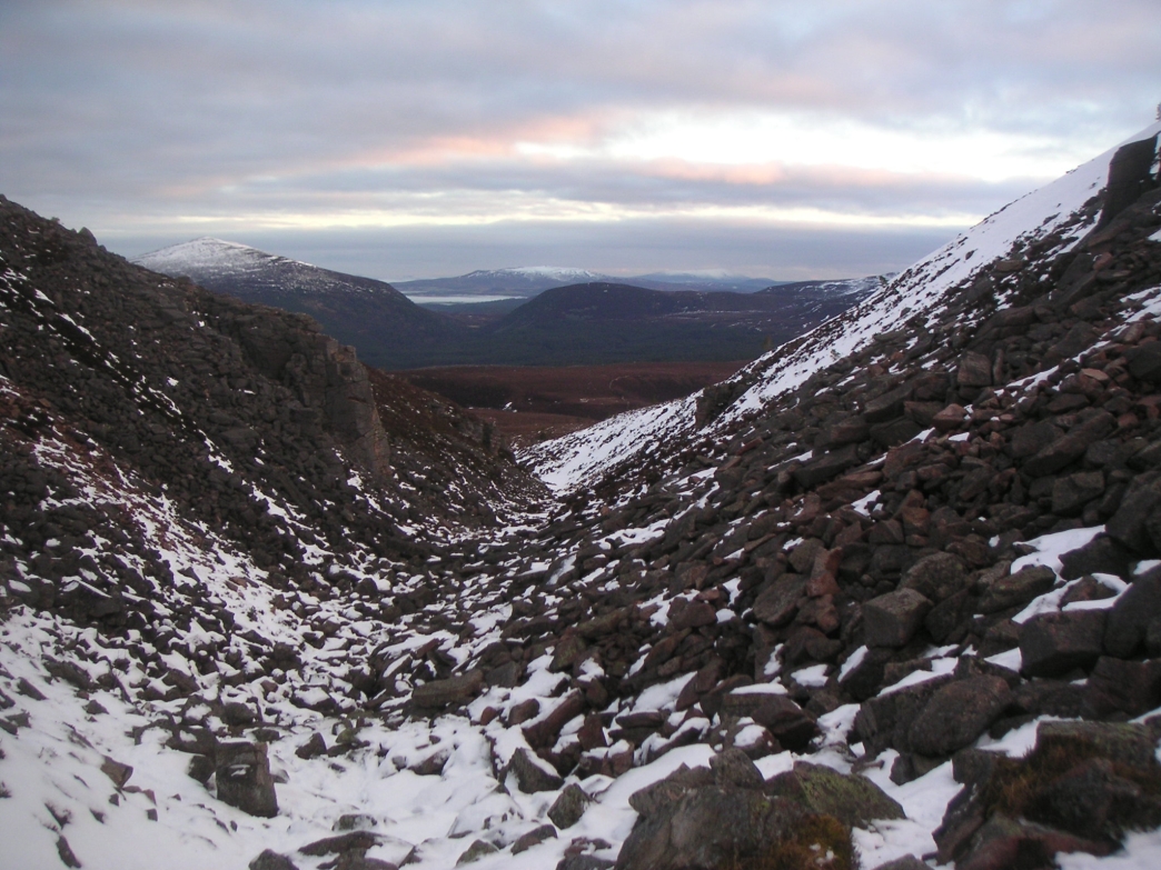
Nearly at the top of the first bit, looking back
The way forward - nasty
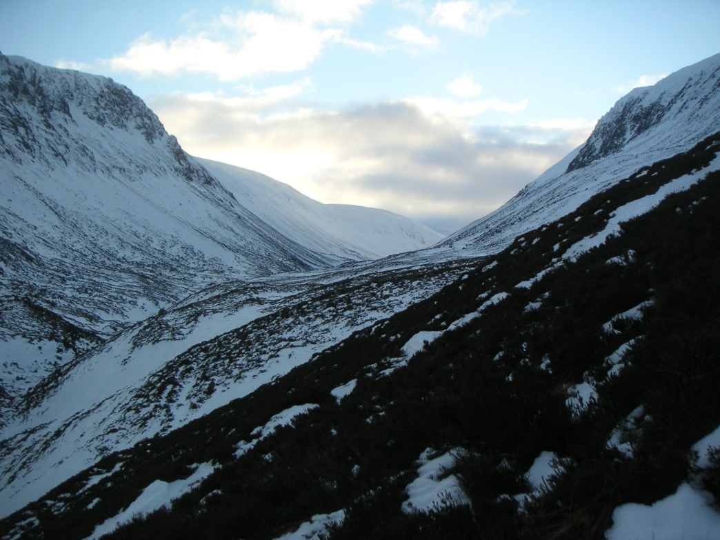
Looking down Lairig Ghru after crossing Allt Druidh
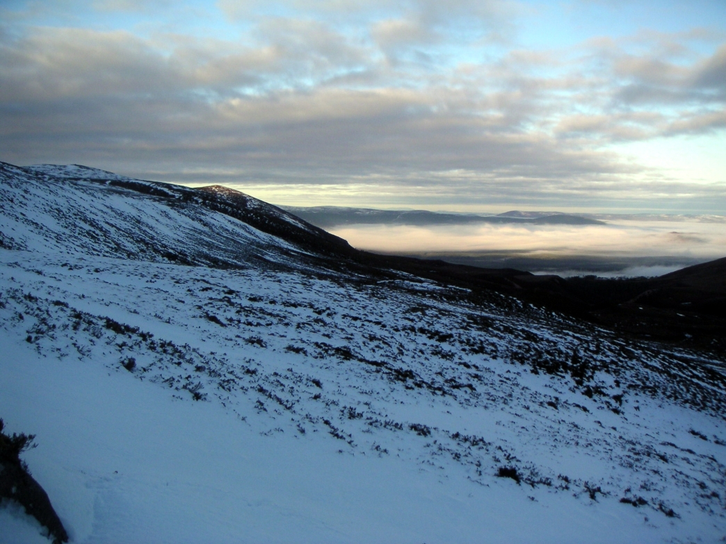
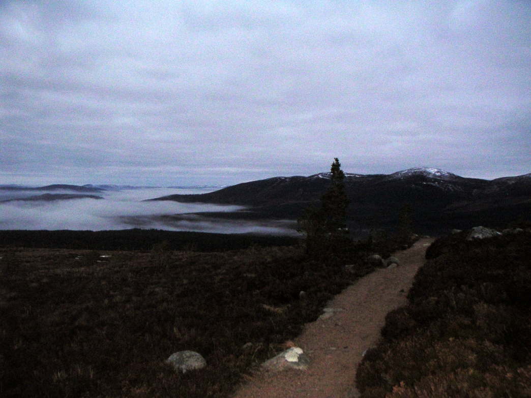
And to the North, cloud over Aviemore
The way forward - Braeriach is up on the right

Getting higher up
the north ridge of Sron na Lairige, looking across to Creag an
Leth-choin (Lurcher's Crag) and North to far away.

Looking South down
the Lairig Ghru from top of Sron na Lairige (3884 feet but not a
munro!). Carn
a Mhaim in the centre and to the right The Devil's Point.

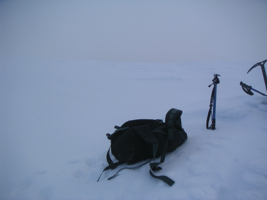
View from the top
of Braeriach. Luckily I bumped into a couple of people up
here, or I would never have found the right top, it all looked white!
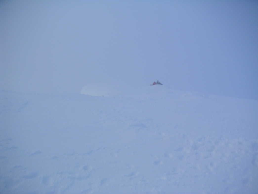
Said people huddled
on the summit.
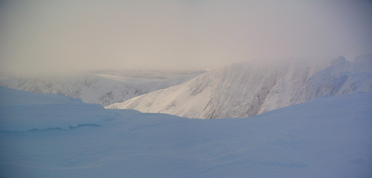
Some of the
spectacular cliffs and cornices - they were impressive if hard to
photograph!
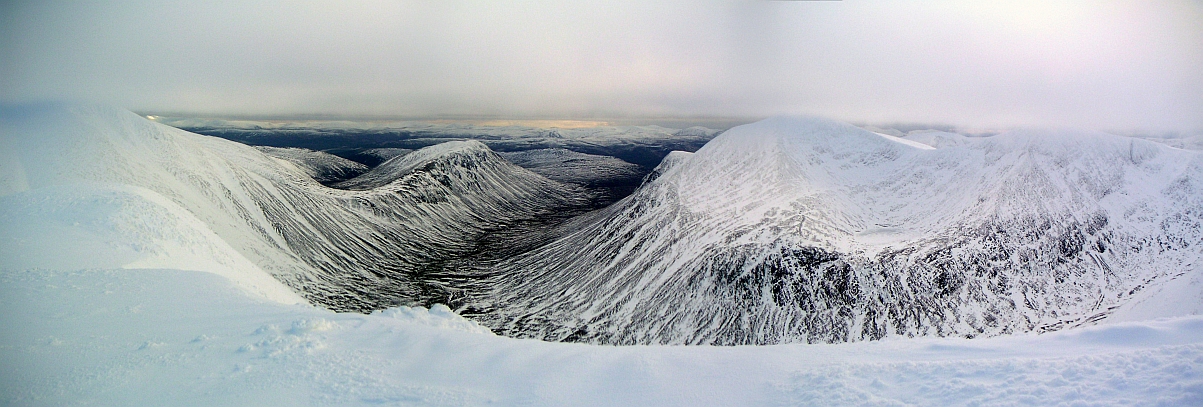
At last, a view of Ben Macdui's slopes on the left, round to Carn a'Mhaim, the Lairig Ghru, The Devil's Point, Cairn Toul, and Sgor an Lochain Uaine (The Angel's Peak). Makes it all worthwhile
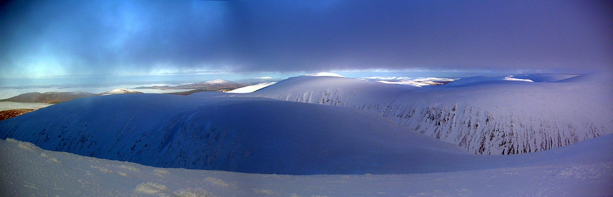
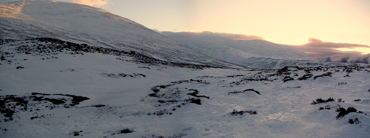
Colours gone a bit awry, but the first hill is the route in and out, the second one is Lurcher's Crag on the other side of the Lairig Ghru.
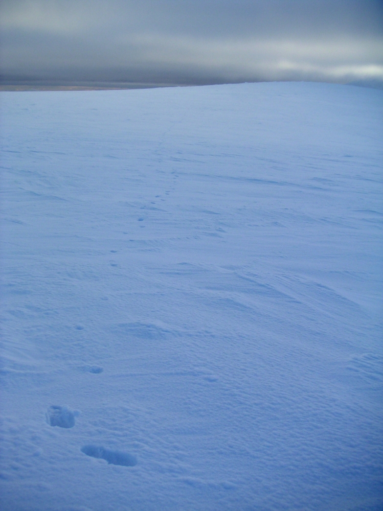
A lonely place
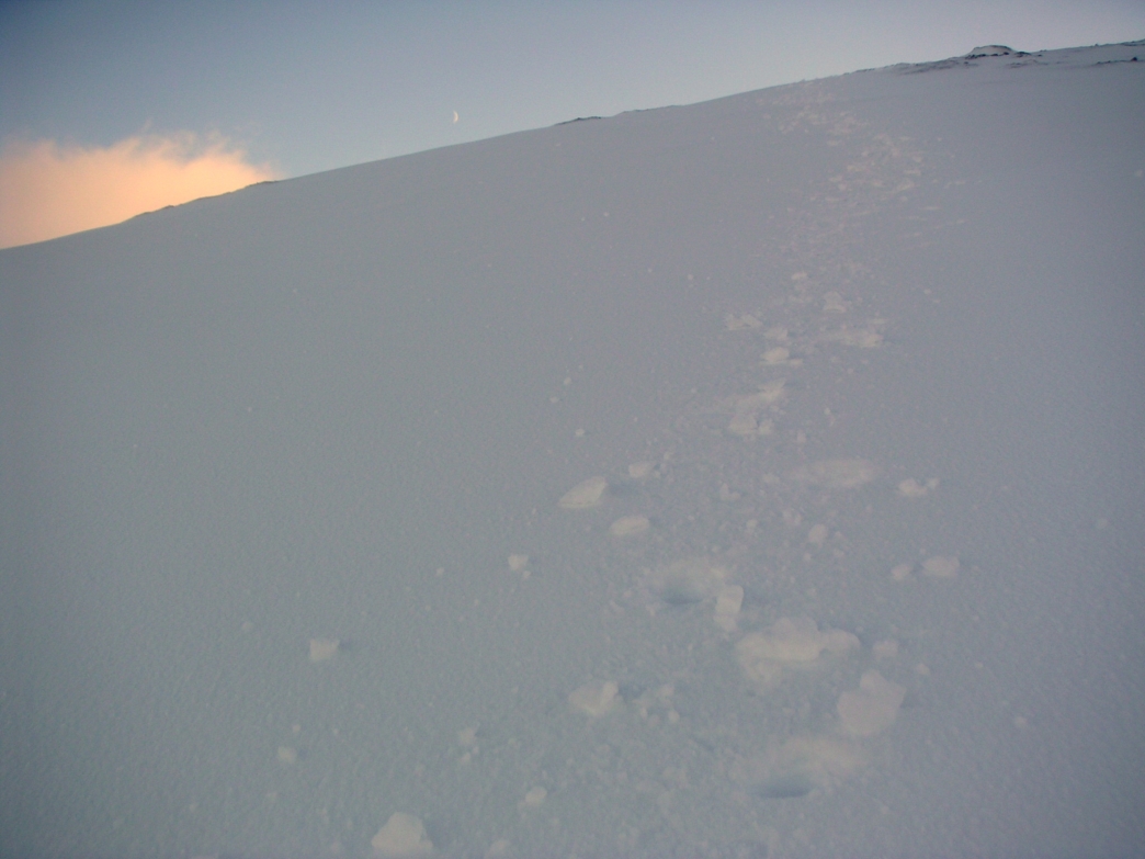
This was rather icy and took ages to cut steps into and get up and down.
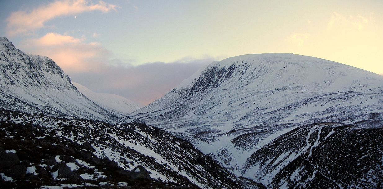
Last view up the
Lairig Ghru before heading back through the Gap
From the start of the gap, looking West
Here we go again - boulders and ice!