Stupidly I thought I would catch up on Beinn Tulaichean on
a day off, and fit in the other two to make it worthwhile! Mistake.
Since worked out this is about 11 miles and 1500 metres of climbing.
That explains why I was knackered and still have sore feet. Must
learn to plan a bit better!
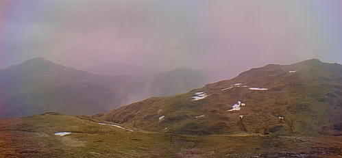
The clouds were supposed to lift, with sunny spells. Thanks weather man! Up there is Beinn a' Chroin. |
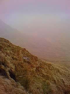
As the mist slowly hung around... |
|
Finally after a few hairy moments when my map reading and compass work were put to the test I found the top. |

And the mist did lift a bit, so I did Beinn a' Chroin 's second top and got this nice picture of An Caisteal.
|
|
From the second top looking back to the mist and the first top. |
||

Just to get up to that ridge then it should be plain sailing. Beinn Tulaichean on the right. |

An Caisteal again, now behind me. |
|

Getting further behind with every step. |

Lunchtime view up the Coire Earb from the North slopes of Beinn a' Chroin. |
|

Finally made the ridge between Beinn Tulaichean and Cruach Ardrain pictured. Why did I think that didn't look far! |

From the same spot looking West to Beinn a' Chroin on the left and An Caisteal. |
|

Oh dear, there goes the top of Tulaichean. |

Summit of Cruach Ardrain. That's Ben More and Stob Binnein in the background. |
|

Look, the summit of Beinn a'Chroin again, just. |

And finally Beinn Tulaichean. The sunny spells made it all worthwhile! |
|

Final look back up Beinn Tulaichean. Doesn't really look too exciting now does it! |

Hey look, daffodills and the tip of Cruach Ardrain. Looks miles away too. Strange what looks good at the end of a long walk! |
|

Site last updated : 26 March 2003.